搜索结果: 1-15 共查到“理学 Object”相关记录61条 . 查询时间(0.163 秒)

“如果每位研究者,在使用一个物种学名时都能够附上参考文献,那么分类学一定会是影响因子最高的学科之一”,圈子里时常可以听到这样的牢骚。在自然科学的发生发展过程中,对事物性质的区分与对事物变化规律的研究,一直是相辅相成、难分伯仲的。这一点不管是在不同层次的自然对象研究之中,还是在脱离了具体研究实体的纯粹数学领域均是如此。因此对于物种的分类,特别是那些有赖于主观经验的分类,当前的挑战主要还是来自于量化研...

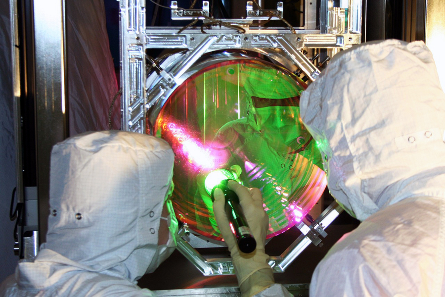
Physicists bring human-scale object to near standstill, reaching a quantum state(图)
量子态 引力 原子尺度
2023/6/19

LIGO-Virgo finds mystery object in gap between neutron stars and black holes(图)
LIGO-Virgo mystery object gap between neutro holes
2020/7/3
When the most massive stars die, they collapse under their own gravity and leave behind black holes. When stars that are a bit less massive die, they explode in supernovas and leave behind dense, dead...

'Oumuamua interstellar object was not an alien spacecraft(图)
Oumuamua interstellar object alien spacecraft
2019/10/23
The first known interstellar object to visit our solar system was discovered on Oct. 19, 2017, by the Panoramic Survey Telescope and Rapid Response System 1 Telescope located at the University of Hawa...
OBJECT-ORIENTED CLASSIFICATION OF LIDAR DATA FOR POST-EARTHQUAKE DAMAGE DETECTION
LiDAR Earthquake Classification Object Oriented Image Analysis Buildings Damage Detection
2018/4/18
The collapse of buildings during the earthquake is a major cause of human casualties. Furthermore, the threat of earthquakes will increase with growing urbanization and millions of people will be vuln...
ALMA returns to Boomerang Nebula:Companion star provides chilling power of 'Coldest Object in the Universe'
ALMA Boomerang Nebula Companion star chilling power Coldest Object in the Universe
2017/7/21
An ancient, red giant star in the throes of a frigid death has produced the coldest known object in the cosmos — the Boomerang Nebula. How this star was able to create an environment strikingly colder...
VLA Reveals New Object Near Supermassive Black Hole in Famous Galaxy
VLA New Object Near Supermassive Black Hole Galaxy
2017/7/20
Pointing the National Science Foundation’s Very Large Array (VLA) at a famous galaxy for the first time in two decades, a team of astronomers got a big surprise, finding that a bright new object had a...
University of Utah mathematicians propose a theoretical framework to understand how waves and other disturbances move through materials in conditions that vary in both space and time. The theory, call...
EFFECTS ON THE MEASUREMENTS OF THE TERRESTRIAL LASER SCANNER HDS 6000 (LEICA) CAUSED BY DIFFERENT OBJECT MATERIALS
Terrestrial Laser Scanning Data Quality Geometric Analysis Radiometric Analysis Object Surface Buildings
2016/2/29
One of the main aspects of terrestrial laser scanning (TLS) is data quality. In the literature a lot of publications concerning this topic
can be found. Several authors included also different mater...
OBJECT-ORIENTED CHANGE DETECTION OF RIPARIAN ENVIRONMENTS FROM HIGH SPATIAL RESOLUTION MULTI-SPECTRAL IMAGES
Object-Oriented Change Detection Definiens Developer Rule Sets Riparian Zones
2015/11/16
The objectives of this research were to: (1) develop rule sets in Definiens Developer 7® for mapping and monitoring riparian zone
land-cover classes within two QuickBird images; and (2) compare...
MULTILEVEL OBJECT BASED IMAGE CLASSIFICATION OVER URBAN AREA BASED HIERARCHICAL IMAGE SEGMENTATION AND INVARIANT MOMENTS
hierarchical segmentation shape object-based classification invariant moments
2015/11/16
With the availability of very high resolution multispectral imagery from sensors such as IKONOS and Quickbird, it is possible to
identify small-scale features in urban environment. Because of the mu...
AN INTERACTIVE TOOL FOR 3D OBJECT EXTRACTION USING AIRBORNE LASERSCANNING DATA AND ORTHOIMAGES
Airborne Laserscanning Orthoimages 3D Object Extraction
2015/9/28
Light Detection And Ranging (LiDAR) provides reliable and detailed 3D data of the earth surface. This data combined with digital
Orthoimages can be used to create detailed 3D object models that are ...
Representation of a 3-d City Model in Spatial Object-relational Databases
Databases GIS Modeling
2015/7/6
Three-dimensional city models become more and more important in many GIS applications. Examples are, apart from simple
visualization, city and land use planning as well as telecommunication planning ...
A simple object-oriented and open-source model for scientific and policy analyses of the global climate system – Hector v1.0
Climate model evaluation model climate change climate model simulations the global climate the earth system
2015/5/18
Simple climate models play an integral role in the policy and scientific communities. They are used for climate mitigation scenarios within integrated assessment models, complex climate model emulatio...
THE HUBBLE SPACE TELESCOPE WIDE FIELD CAMERA 3 EARLY RELEASE SCIENCE DATA: PANCHROMATIC FAINT OBJECT COUNTS FROM 0.2{2 MICRONS WAVELENGTH
Galactic stars counts the galaxy counts
2014/12/22
We describe the Hubble Space Telescope (HST) Wide Field Camera 3 (WFC3) Early Re- lease Science (ERS) observations in the Great Observatories Origins Deep Survey (GOODS) South
eld. The new WFC3 ERS d...


